|
| *****SWAAG_ID***** | 384 |
| Date Entered | 04/12/2011 |
| Updated on | 04/12/2011 |
| Recorded by | Tim Laurie |
| Category | Tree Site Record |
| Record Type | Botanical HER |
| Site Access | Public Access Land |
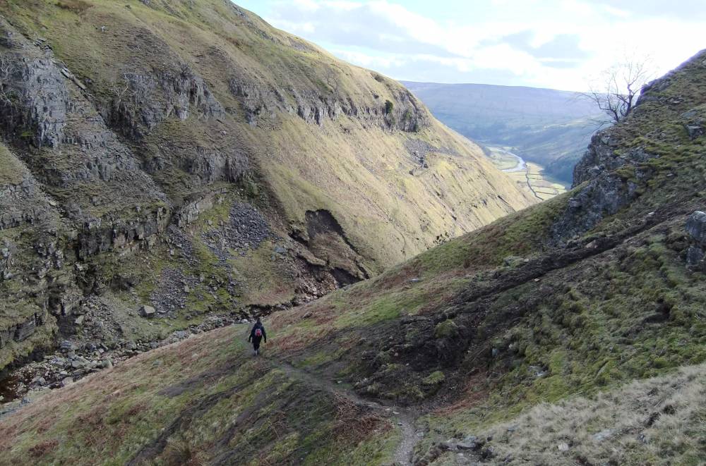
| Location | Swinnner Gill. Lower Cliffs, East side, from footpath crossing down to Fair Yew End. |
| Civil Parish | Muker |
| Brit. National Grid | NY 911 006 |
| Altitude | 400m |
| Geology | Main Limestone |
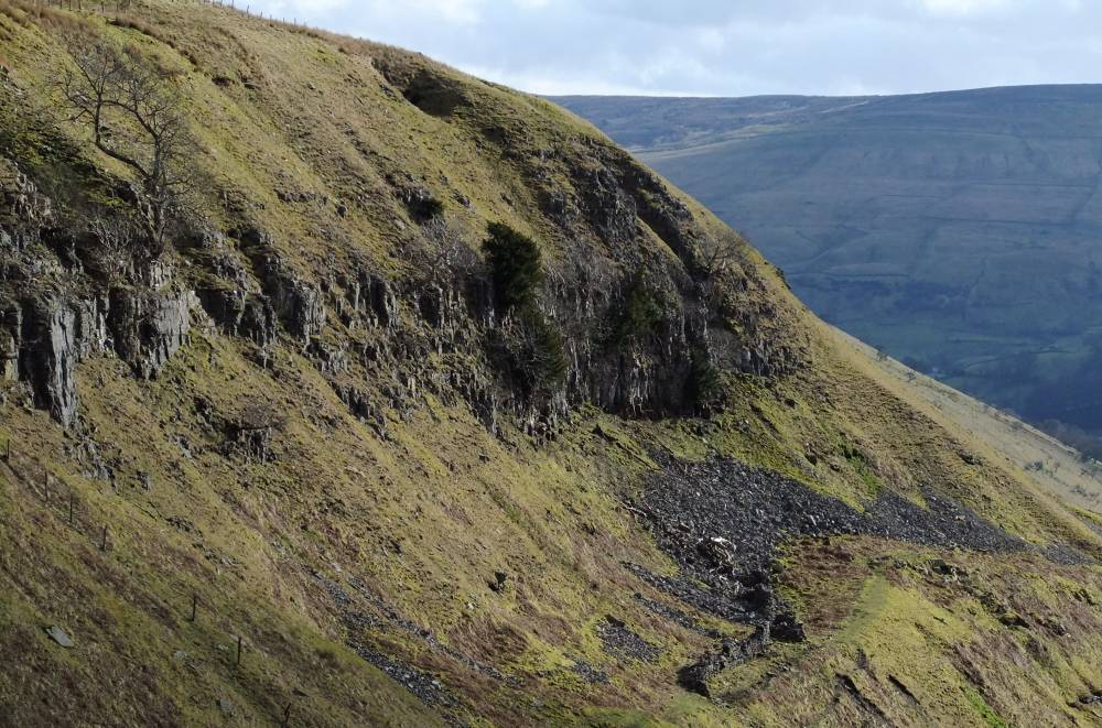
| Record Name | MUK159 Swinnner Gill. Lower Cliffs, East side. Limestone Ashwood Community with many yews and solitary juniper. |
| Record Description | Limestone ashwood community with many yews and solitary juniper.
Vegetation not yet recorded. |
| Dimensions | See photos |
| Geographical area | Upper Swaledale |
| Species | Yew, wych elm, solitary juniper. |
| Additional Notes | Species list to follow. |
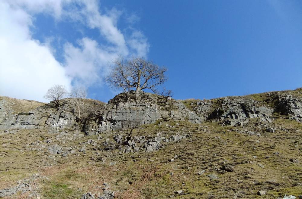
| Image 1 ID | 1582 Click image to enlarge |
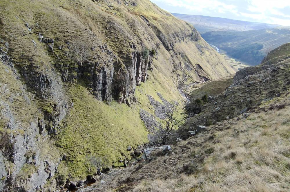
| Image 1 Description | View of lower cliffs from the head of Swinner Gill |  |
| Image 2 ID | 1583 Click image to enlarge |
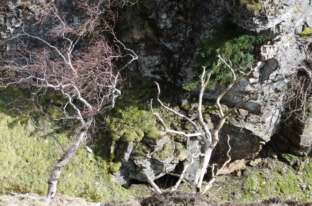
| Image 2 Description | Small cliff yew. | 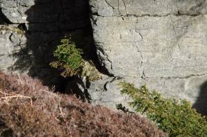 |
| Image 4 ID | 1585 Click image to enlarge |
| Image 4 Description | | 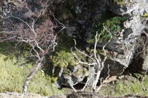 |
| Image 5 ID | 1586 Click image to enlarge |
| Image 5 Description | |  |
| Image 6 ID | 1587 Click image to enlarge |
| Image 6 Description | | 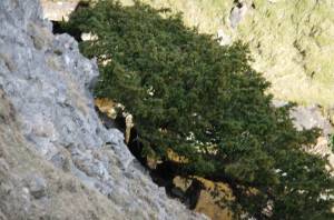 |
| Image 7 ID | 1588 Click image to enlarge |
| Image 7 Description | |  |
| Image 8 ID | 1590 Click image to enlarge |
| Image 8 Description | |  |
| Image 9 ID | 1591 Click image to enlarge |
| Image 9 Description | | 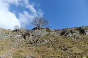 |
| Image 10 ID | 1592 Click image to enlarge |
| Image 10 Description | | 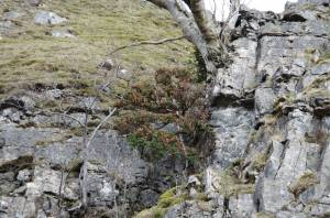 |